
Alaska: Easternmost State or Westernmost State?

Is Alaska the easternmost state? Is it possible for Alaska to be the easternmost and westernmost state simultaneously?
Thanks to the 49th state’s unique location and size, its borders cross the 180th meridian earning its reputation as the easternmost and westernmost state in the country!
In this post, we break down the geography of The Last Frontier, while also providing some Alaska state facts and information.
Is Alaska the Easternmost US State?
From a global geographic standpoint, Alaska uniquely holds the titles of the easternmost, westernmost, and northernmost state in the United States, due to its borders extending across the 180th meridian.
Semisopochnoi, one of the islands in the state, is the cause of this unique phenomenon, as it marks the point where the Aleutian Islands cross with the meridian.
↪️If this is already a bit confusing, don’t get frustrated. You can read more on Alaska’s exact location and why Alaska is a state before you continue reading so this post makes more sense!
Why is Alaska the Easternmost State?

When looking at a globe or certain maps, you’ll see horizontal lines known as lines of latitude and vertical lines known as lines of longitude.
These invisible markings separate the globe into hemispheres (northern/southern, eastern/western) and can be used to geographically locate any place on Earth through the use of coordinates.
The vertical lines, or meridians, are what makes Alaska both the westernmost and easternmost state.
In order to determine why Alaska is the easternmost state, we need to look at two particular lines: The Prime Meridian, which is Longitude 0 degrees, and the Anti-Meridian at 180 degrees on the complete opposite side of the world.
These two lines meet at the north and south poles and divide the glove into two halves, known as the Eastern and Western Hemispheres.
The Anti-Meridian cuts through Alaska’s Aleutian Islands meaning part of the state is in the Eastern Hemisphere and the rest of the state is in the Western Hemisphere, which explains why Alaska is simultaneously the easternmost and westernmost state.
Is Alaska the Most Northern State?
Yes, Alaska is the most northern state in the United States.
The northernmost town, Utqiaġvik, sits at latitude 71 degrees North and is one of the most northern-occupied communities in the world.
When looking at the contiguous United States, or the Lower 48, the northernmost point is Northwest Angle Inlet in Lake of the Woods, Minnesota.
This little fact also makes Alaska one of the best destinations on the continent for northern lights tours!

Is Alaska the Most Southern State?
No, Alaska is not the southernmost state in the United States.
That title goes to Hawaii if we are asking about all 50 United States. If we are referring to the contiguous US, the southernmost state would be Florida, which is located in the southeastern region of the country.
What is the Easternmost Part of Alaska?

If we are using the State of Alaska as our reference, the town of Hyder is the easternmost part of Alaska. This small community is a part of the Southeastern Region of Alaska and is only accessible by roadway through Canada (which by the way does not share the same currency as Alaska).
It lies only a couple of miles west from Stewart, a small town in the Canadian Province of British Columbia (known for its impressive whale watching tours).
If we are considering the easternmost point in North America on the global scale, the answer would be Semisopochnoi Island since it is the farthest east in the Eastern Hemisphere.
This island has a geographic coordinate of 51°57′05″N 179°36′03″E which is as close to the Anti-Meridian, or the 180th Meridian, as the Aleutian Islands get.
Is Maine or Alaska More East?
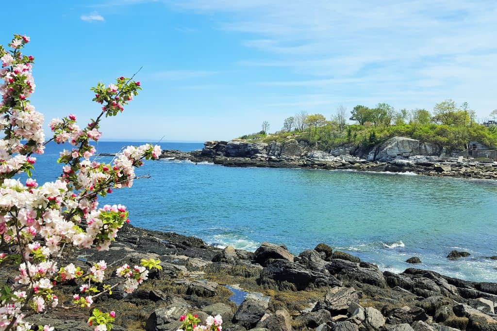
While Maine is often referred to as the easternmost state in the U.S., technically speaking, Alaska holds that title.
Located in the northwest corner of North America, Alaska’s borders cross the 180th meridian, earning its name as the easternmost and westernmost state.
Is Alaska Both the Westernmost and Easternmost State?
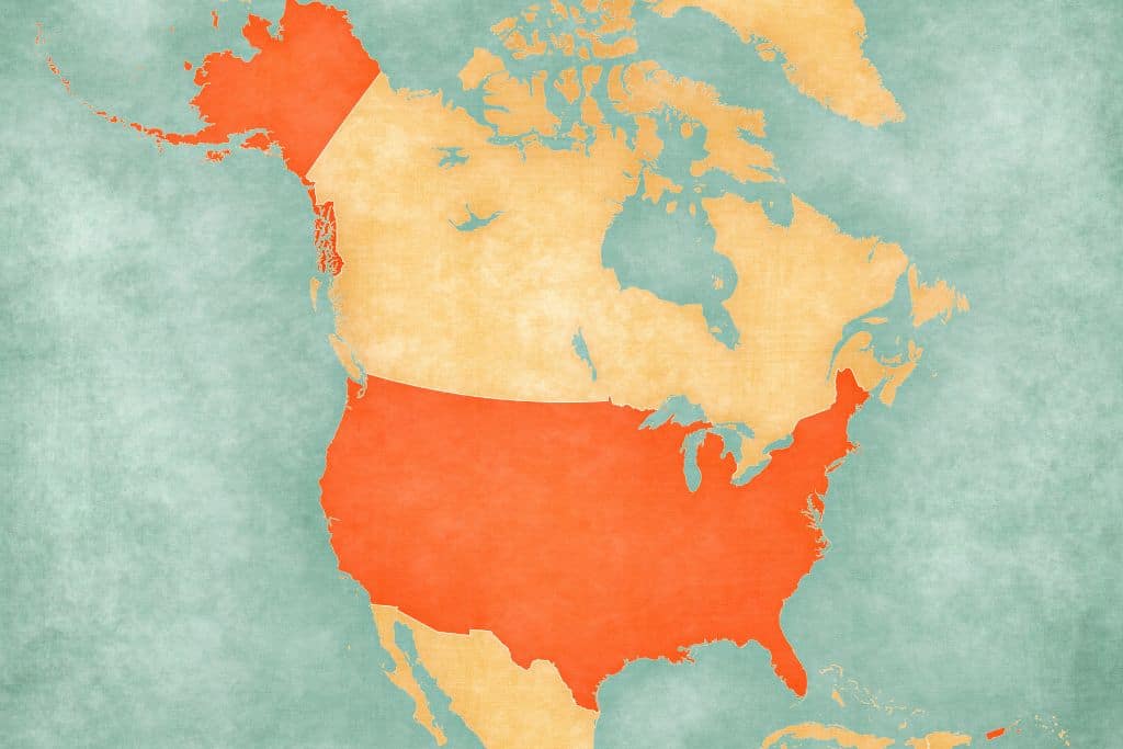
Yes, Alaska is both the most western and eastern state in the US in terms of longitude. The westernmost point in Alaska is Amatignak Island at 51°16′7″N 179°8′55″W, since this is immediately adjacent to the 180th Meridian.
The easternmost point is Semisopochnoi Island, AK, which lies at 51°57′42″N 179°46′23″E.
The International Date Line runs around all Alaskan territory, however, which means all residents in the state are in the same ‘day.’ Those on the other side of the imaginary date line are a day ahead.
Is Hawaii or Alaska Further West?

Alaska’s Aleutian Islands stretch much farther west than Hawaii.
The Attu Island of Alaska is the farthest west and is actually located in the Eastern Hemisphere since it is on the other side of the 180 meridian, while the westernmost Hawaiian Island is Niʻihau and it sits at approximately 160 degrees west.
Map of Alaska Geography
Alaska State Facts

In this next section, you’ll learn some state facts about Alaska and its position as the easternmost and westernmost state in the United States.
Is Alaska a State?
Yes, Alaska is a state! Alaska was admitted as the 49th State by President Eisenhower on January 3rd, 1959.
What Region is Alaska in?
Before we can answer this question, we need to clarify what type of region we are looking for. Alaska is considered a part of the West Region of the United States according to National Geographic, while the US Census Bureau considers the state a part of Region 4 West, Division 9: Pacific.
The Climate Adaptation Science Centers Network by USGS divides the United States into nine regions with Alaska being its own.
What is the Area of Alaska?

Alaska is, by far, the largest state in the Union, encompassing 586,000 square miles of land area.
In order to grasp just what “Alaska size” truly means, we can add the areas of the 2nd (Texas), 3rd (California) and 4th (Montana) largest states and the sum is still less than that of Alaska.
Is Alaska an Island?

Alaska has multiple island chains but the state itself is not an island.
The most well-known chain is undoubtedly Alaska’s Aleutian Islands which lie across the Pacific Ocean. These volcanic islands separate the Bering from the rest of the Pacific.
What is the Capital of Alaska?
The capital of Alaska is Juneau, and it has been since the state was administered into the Union in 1959. It happens to be the only US State capital that borders a foreign country (Canada), and it is inaccessible by car unless you take a ferry.
Although Anchorage and Fairbanks are larger cities, Juneau has remained the state capital even though you can’t drive to it.
What is the Alaska Population?
According to Alaska’s Department of Research and Analysis, the population of Alaska in 2023 was approximately 736,000. It is considered the last great wilderness since only about 1/20th of 1 percent of the state has been touched by civilization.

Alaska has always been well known as a unique state, but holding the titles of easternmost, westernmost, and northernmost state simultaneously only enhances its appeal.


